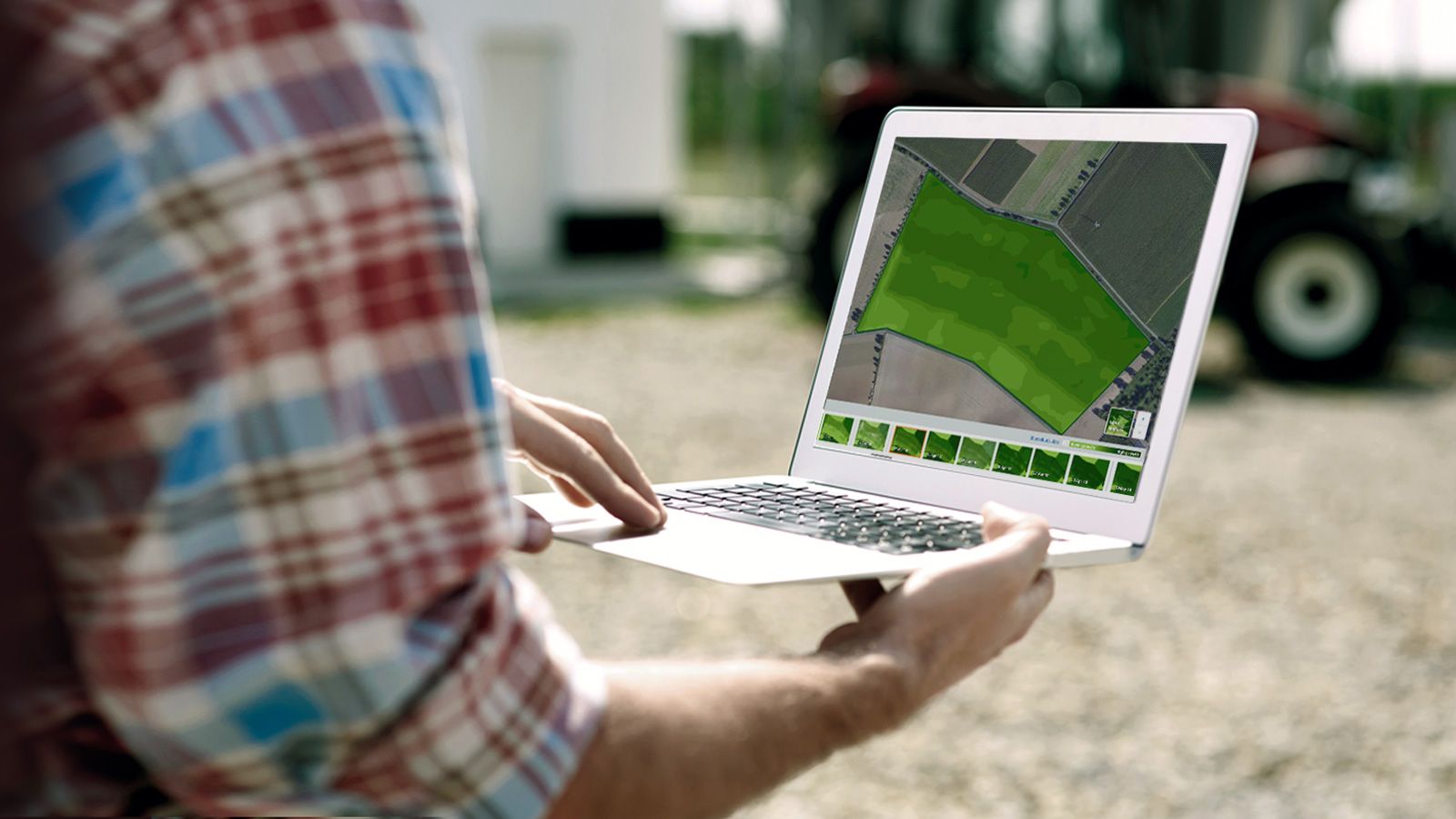

Monitor your crops using satellite images
Today your adviser has to keep distance and you want to plan your field visits efficiently.
Yara’s Atfarm offers free and easy to use crop monitoring via satellite images.
- Regular observations enable more efficient use of fertilizer, manure and other inputs.
- Differences in the field can be spotted easily. Focus your field checks easily.
- Simply draw or import your fields and ready to go in minutes.